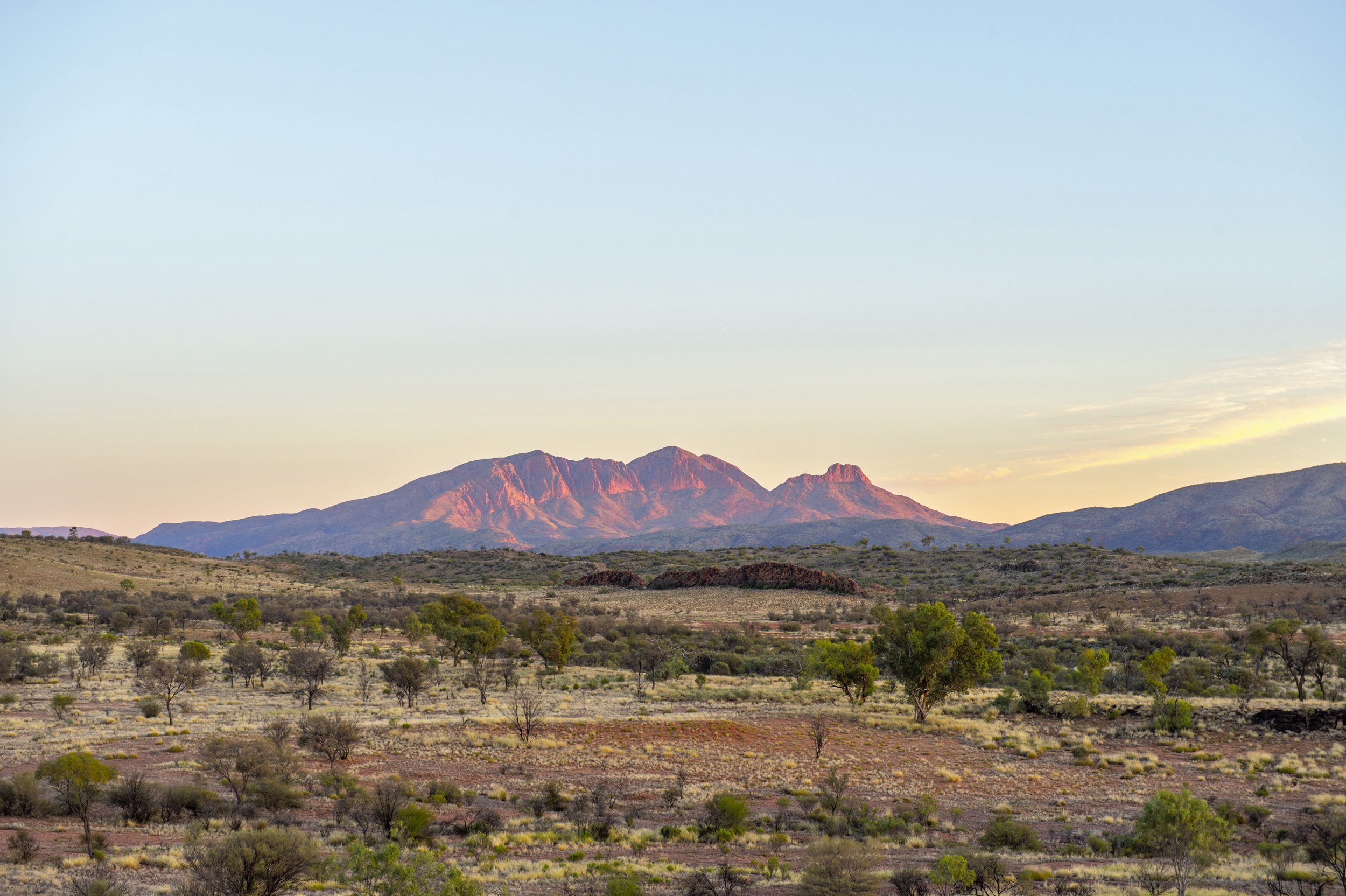
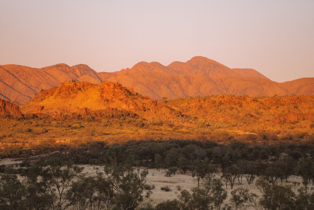
Mount Sonder, known as Rwetyepme to the local Arrernte people, is the fourth-highest peak in the Northern Territory, Australia. It reaches an impressive elevation of 1,380 meters (4,530 feet) above sea level. Situated within the stunning West MacDonnell Ranges, this rugged, double-peaked mountain captivates with its dramatic presence. It marks the western end of the famed Larapinta Trail, a 231-kilometer (144-mile) hiking track extending all the way to Alice Springs.
Location and Accessibility
Mount Sonder is approximately 130 kilometres (81 miles) west of Alice Springs, within the expansive West MacDonnell National Park. The mountain can be accessed via the Larapinta Trail, with the final section of the trail bringing you to its base.
For those seeking a shorter adventure, the trailhead can be accessed from the Redbank Gorge car park. This offers a more direct route to the summit of Mount Sonder. The hike to the top is a challenging yet rewarding journey. Covering 12 kilometres (7.5 miles) round trip, it provides breathtaking vistas of the surrounding wilderness.
The Hike to the Top
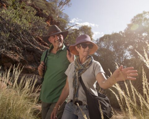
The hike to the top of Mount Sonder is a challenging yet unforgettable experience for adventurers. As you ascend, you’ll be immersed in the striking scenery of the West MacDonnell Ranges.
Along the way, the landscape shifts from spinifex-covered plains and low-lying scrub to more resilient vegetation. As you ascend to the higher slopes, you’ll encounter hardy plants like the round-leafed mallee and native pine.
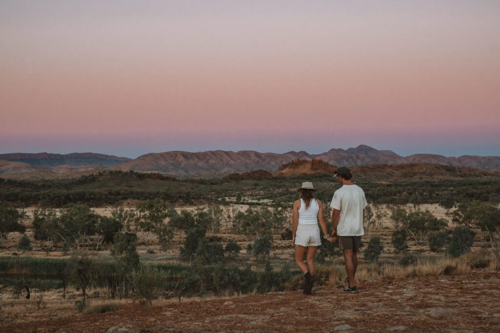
As you approach the summit, you’re likely to spot various wildlife, including the Grey-headed honeyeater and lizards. You may even find termite tunnels nestled in spinifex bushes along the trail. The summit rewards hikers with breathtaking panoramic views. To the west, you’ll see the towering Mount Zeil while the vast red-soil plains stretch endlessly into the distance.
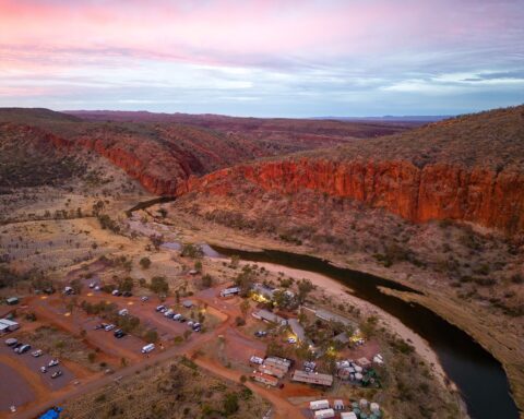
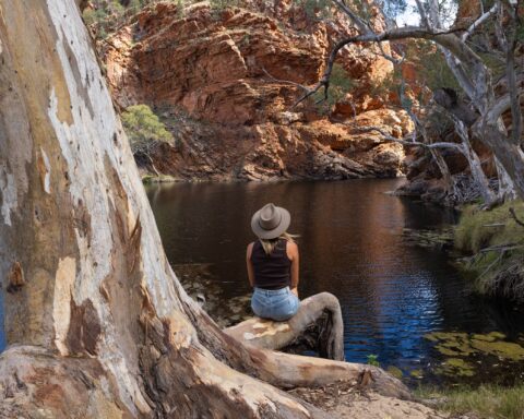
At the base of Mount Sonder, you’ll find the stunning Redbank Gorge. Here, visitors can enjoy a refreshing dip in the cool, deep waterholes. These waterholes are nestled between towering red rock walls, creating a beautiful natural setting. It’s the perfect way to unwind after a long hike, offering a serene swimming experience in the heart of the rugged outback.
Ready to explore Mount Sonder? Download the AllTrails app for detailed info on hiking trails, maps, and tips to make your adventure unforgettable!

What Can You See from the Top?
From the top of Mount Sonder, you’re rewarded with panoramic views of one of Australia’s most captivating landscapes. To the east, the West MacDonnell Ranges extend in rugged beauty, showcasing their dramatic landscapes. To the west, you’ll find Mount Zeil, the highest peak in the Northern Territory, standing tall at 1,531 meters (5,023 feet).
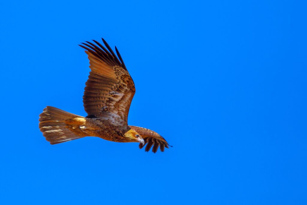
On clear days, you might catch glimpses of the iconic Glen Helen Gorge to the east. To the southwest, the impressive Gosses Bluff crater may come into view. As you stand on the summit, take a moment to look up at the sky. You may spot majestic birds of prey, like the Wedge-tailed eagle and the Peregrine falcon, gracefully riding the thermal updrafts.
Where to Stay
For those wanting to stay near Mount Sonder, camping is available nearby at Redbank Gorge. There are two designated spots: the Ridgetop and Woodland camping areas. Both sites provide convenient access to the mountain. They serve as excellent bases for adventurers eager to explore more of the West MacDonnell Ranges.
Multi-day walkers on the Larapinta Trail must pay fees and book their campsites online before arrival. For those opting for a shorter day hike to the summit of Mount Sonder, walker fees do not apply. However, park entry fees do, so be sure to check pricing details before your visit.
Practical Information
- Distance from Alice Springs: 130 kilometres (81 miles) west.
- Opening Hours: The park is open daily, 24 hours.
- Entry Costs: Park passes range from $10 to $60, with child tickets from $5 to $30. Camping and extended walk fees apply to visitors.
- Activities: Hiking, birdwatching, and wildlife observation.
- Facilities: Lookouts and camping areas at Redbank Gorge.
Tips for Visitors
- Safety: Bring plenty of water, especially during hot months, and check for weather updates as temperatures can be extreme.
- Best Time to Visit: The cooler months (May to September) are ideal for hiking.
- Booking: Book camping and multi-day hiking permits online before arriving.
Mount Sonder is a hidden gem in the Australian outback, offering a unique connection to the raw beauty of the Northern Territory’s wilderness. It’s a perfect destination for adventurous souls seeking a true outback experience. Whether you’re an experienced hiker tackling the Larapinta Trail or a day adventurer chasing stunning panoramic vistas, Mount Sonder has something for everyone. Here, nature’s grandeur takes centre stage, making it an unforgettable destination for all who visit.